
Delicate Arch

Arches National Park, UT
DELICATE ARCH
A BRIEF SUMMARY OF DELICATE ARCH
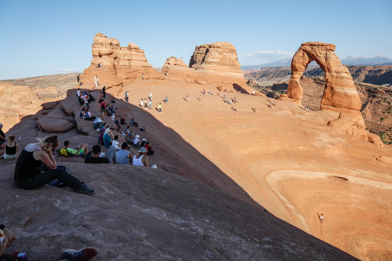
In my opinion, Utah is the most photographic state in America - with countless opportunities to view unique shapes, arches, mesas, buttes and vistas. But only one scene was chosen to be on the license plate of the state of Utah – Delicate Arch.
This 60ft tall arch is one of the most famous arches in the country and is one of the most iconic symbols of the American southwest. And as famous as Delicate Arch is, it is even more impressive in person. After the strenuous 1.6 mile uphill hike, you will find yourself wondering how this perfectly shaped arched (perched by the edge of a cliff) happened. This is truly a special place to visit and photograph.
Images and location summary by Tim Wier

Annual Subscription
Lifetime Membership
DATA POINTS INCLUDED WITH DELICATE ARCH SUMMARY
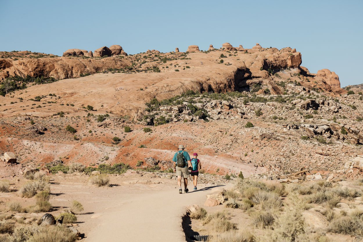
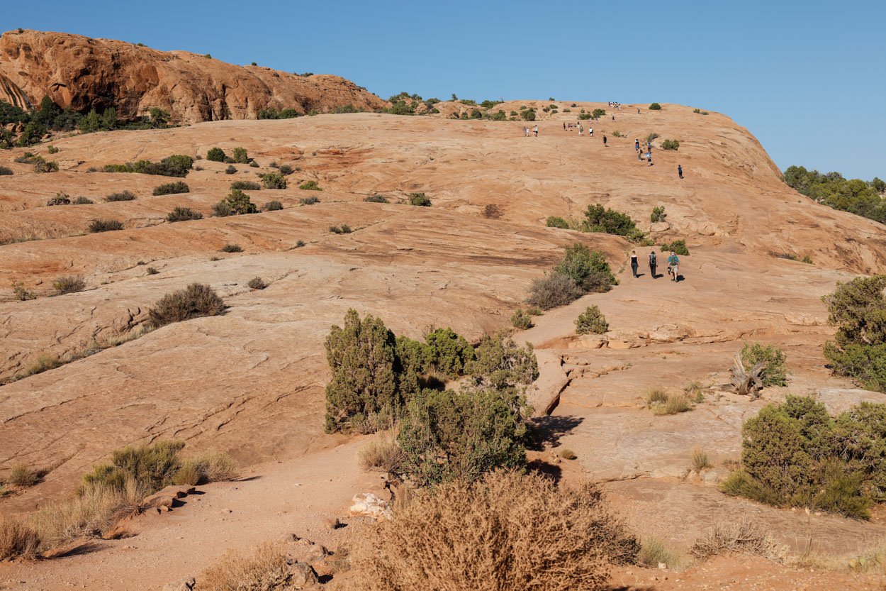
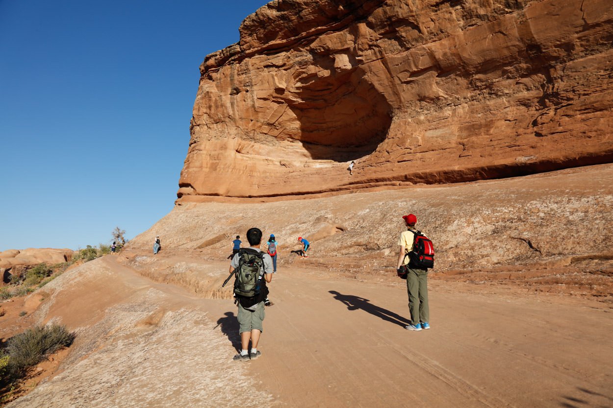
I would rate the difficulty of this trail as a 3 on a scale of 1-5 (with 5 being most difficult). The 3.2-mile roundtrip (the first half is mainly uphill) hike to Delicate Arch is strenuous to most people and should only be done with the right precautions.
This shot is pretty straightforward - but the key is to keep the horizon level while trying to make the arch to look normal. This would seem easy and obvious, but the arch is not vertical and most times a photographer will compose the shot to keep the arch legs straight - which often times will throw off the horizon.
Remember in your composition, the horizon is straight - not ...
There are many compositions you can choose at Delicate Arch. I would suggest arrive at least an hour early and walk all around the arch to pick your composition. You can use lenses from 16mm to 70mm to shoot (depending on your composition). The shot above was taken with a 28mm lens.
4,739ft Ft. Elevation
Other Resources Available with Membership
KMZ Trail File
Directions
Best Time of Day to Shoot
Best Time of Year to Shoot
Equipment Needed
Permits Required
Direction of Shot
Google Maps Birds-Eye-View
Number of Photographers to Expect
Cell Service
Overnight Lodging/Camping
Nearby Restaurants
Area Guides and Workshops
Other Resources
LOCATION SUMMARIES WRITTEN BY PROFESSIONAL PHOTOGRAPHERS


