
The Overlook
Near Hanksville, UT
THE OVERLOOK
A BRIEF SUMMARY OF THE OVERLOOK
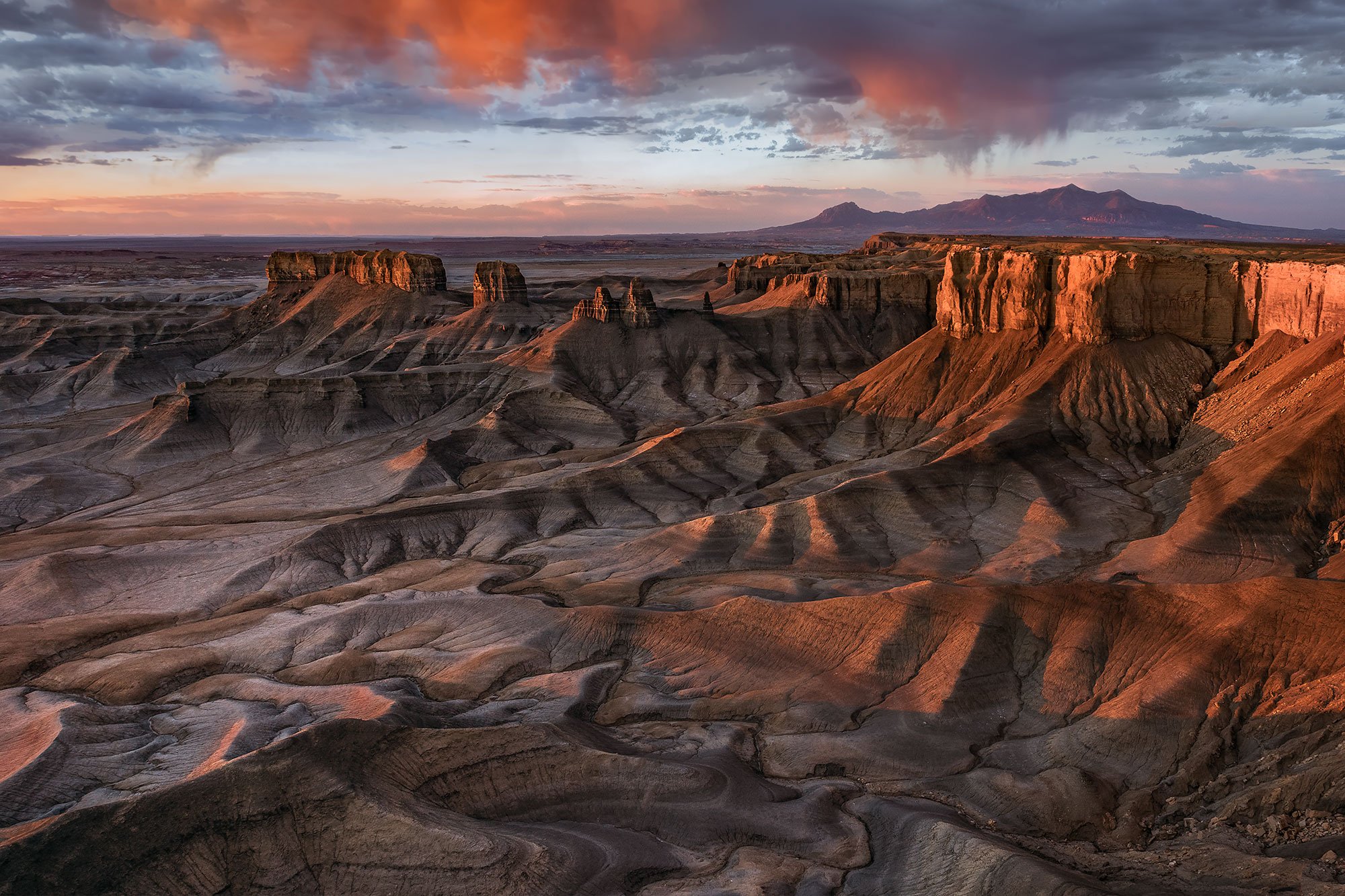
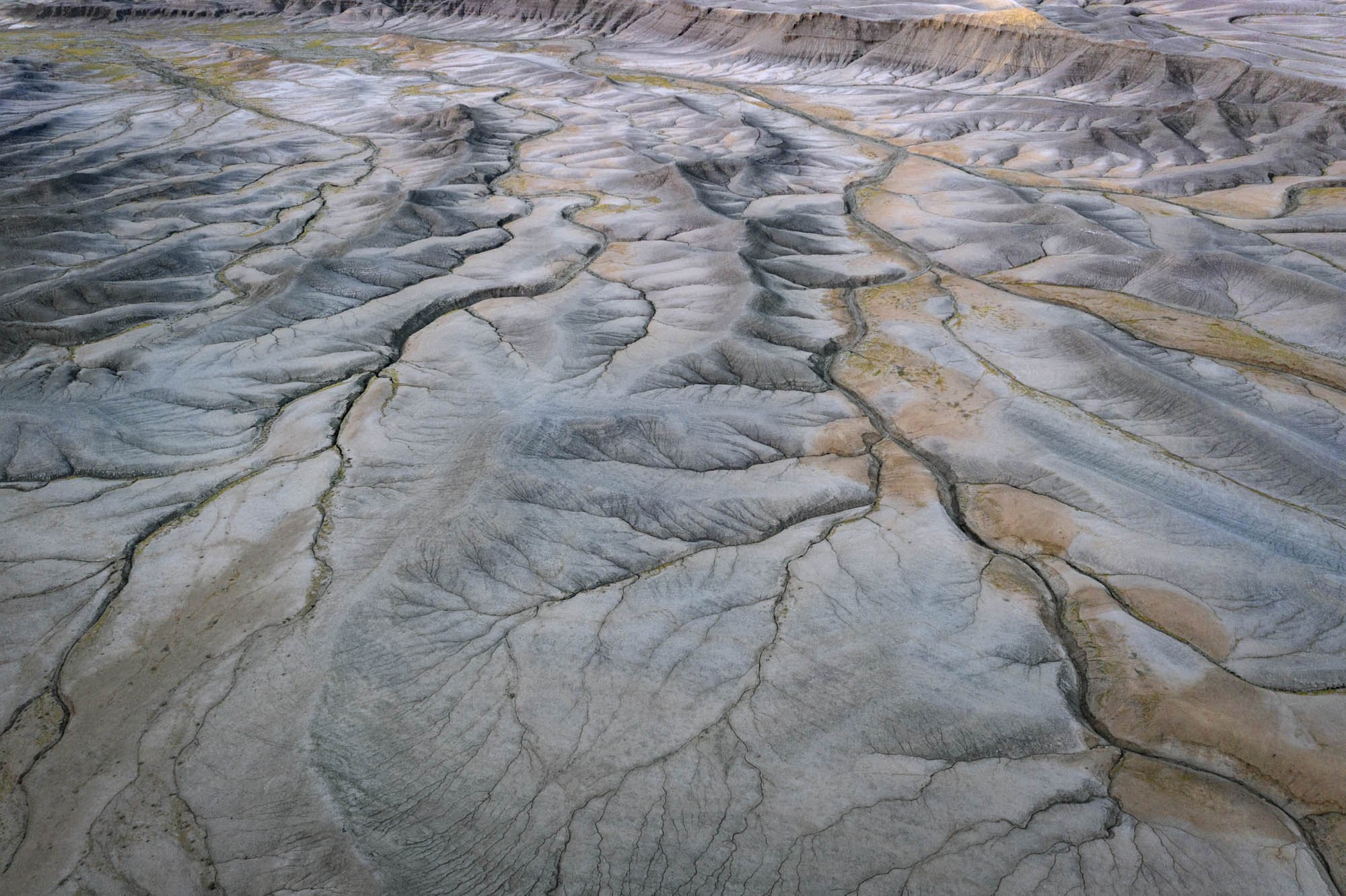
In my opinion, southern Utah is one of the most photographically fertile areas in the American southwest - with ever ending abstracts, buttes, formations, striations, and jaw-dropping vistas. And this location, overlooking the astonishing badlands near Hanksville, UT is just another example of the amazing natural beauty this area has to offer.
The area west of Hanksville, UT (seen by many as lifeless and barren badlands) provides for some of the most unusual topographical abstracts found anywhere in the American southwest. And from this location (sometimes called the Moonscape overlook) you have a grand view of the unlimited extraterrestrial like terrain that stretches as far as the eye can see.
Images and location summary by Tim Wier

Annual Subscription
Lifetime Membership
DATA POINTS INCLUDED WITH THE OVERLOOK SUMMARY
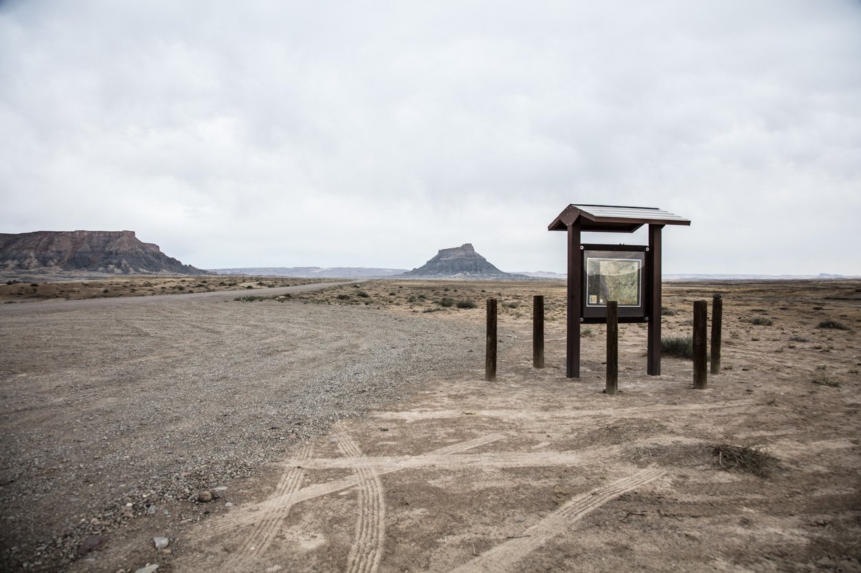
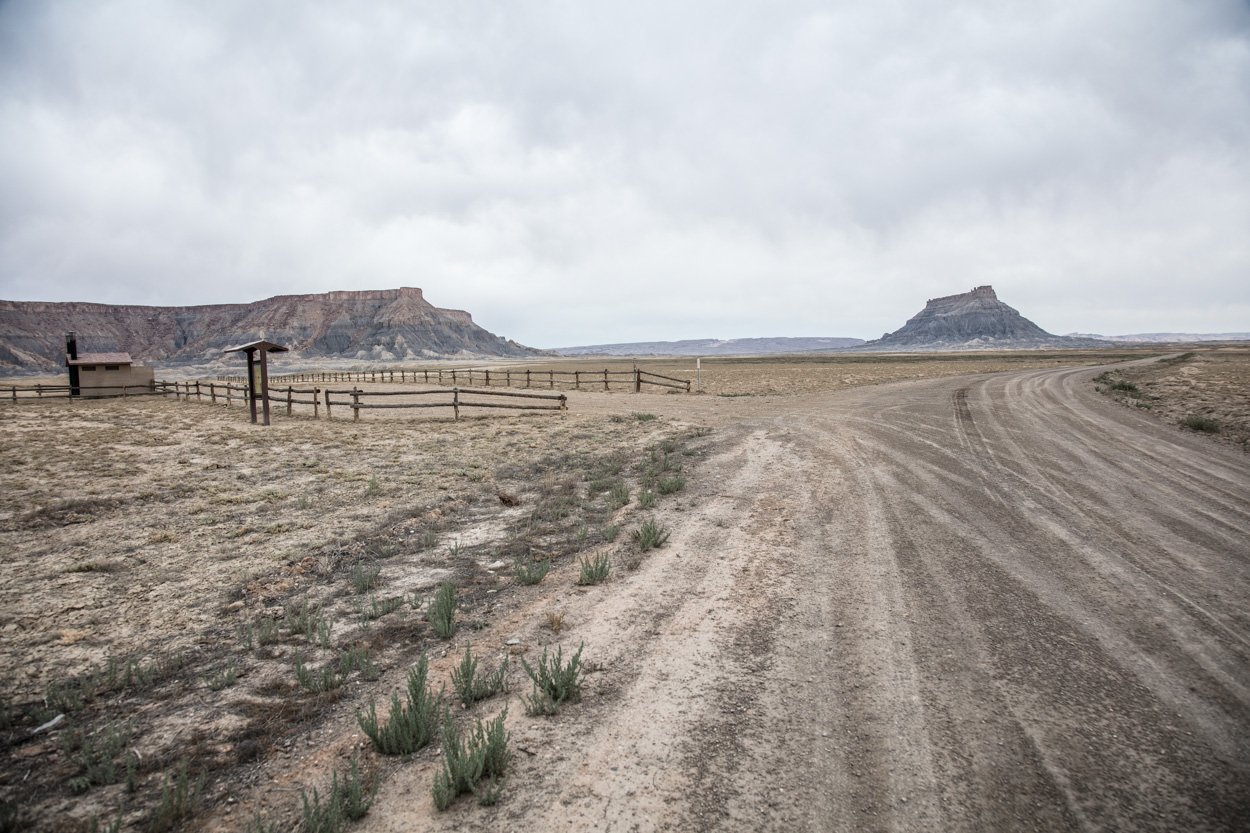
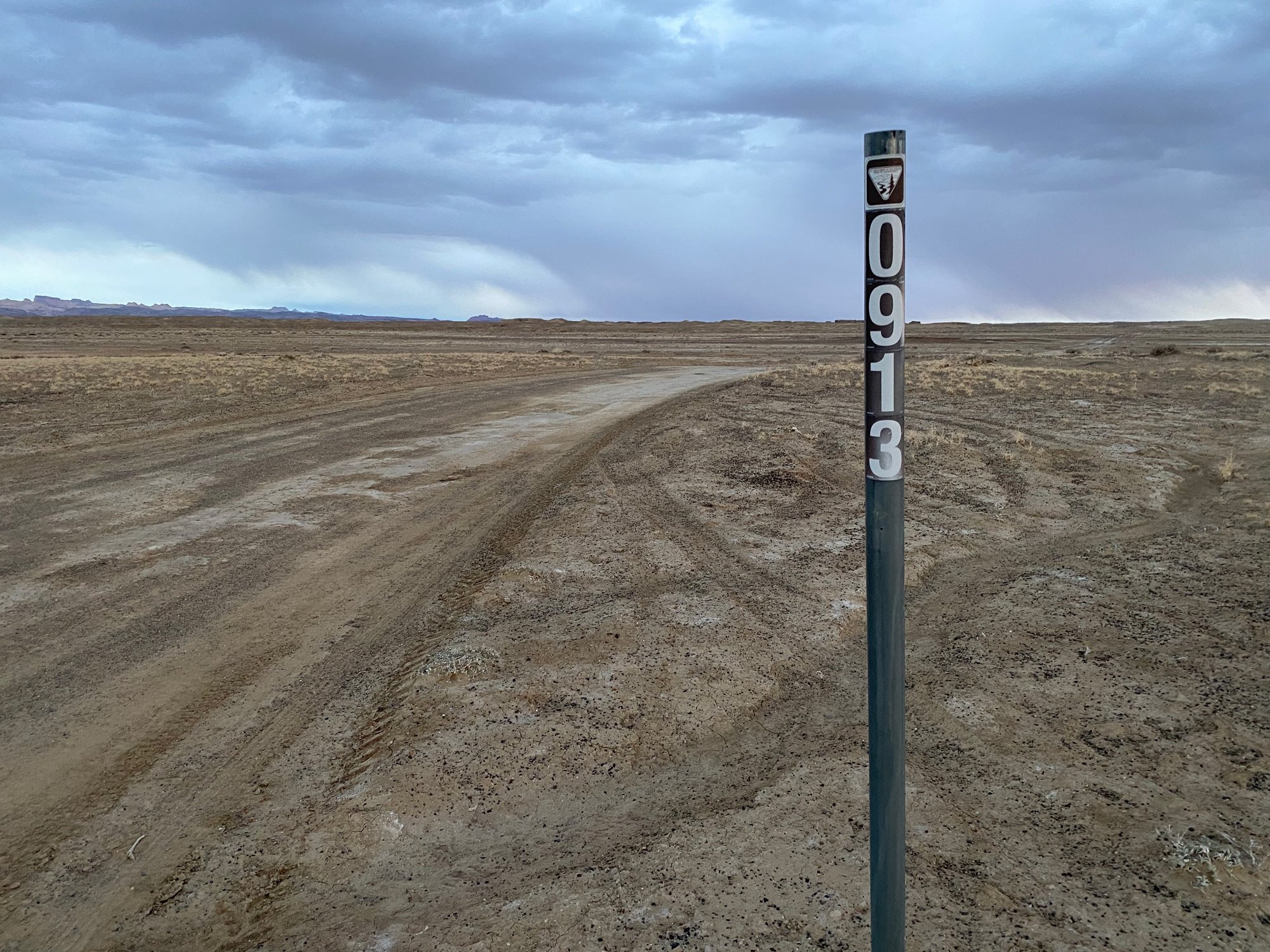
I would rate the difficulty of this trail as a 2.5 on a scale of 1-5 (with 5 being most difficult). The main road (Coal Mine Rd) is rough in a few spots, and the dirt road that takes you to the overlook can be a bit bumpy. However, the walk from the parking area to the location of the shot is an easy 25 yds.
NOTE: the dirt road to this location can be impassable when the ground is wet/muddy.
The most difficult part of this shot is trying not to fall off the cliff while you are witnessing this unbelievable scene unfold in front of you. As the sun comes up, it is truly magical!
You will want to either scout out the location the day before or arrive a half hour before sunrise to find the composition that works for you. You can shoot anywhere along the ridge from the camping/parking area. Try to find the right location to include the side (right) walls as they start to illuminate.
The sky and the side wall will peak at different times, so you may need to …
You can shoot this location with anything from an ultra-wide to a standard lens. The above shot was taken at 24mm. I would bring an 11mm to 50mm lens combination.
4,653 Ft. Elevation
Other Resources Available with Membership
KMZ Trail File
Directions
Best Time of Day to Shoot
Best Time of Year to Shoot
Equipment Needed
Permits Required
Direction of Shot
Google Maps Birds-Eye-View
Number of Photographers to Expect
Cell Service
Overnight Lodging/Camping
Nearby Restaurants
Area Guides and Workshops
Other Resources
LOCATION SUMMARIES WRITTEN BY PROFESSIONAL PHOTOGRAPHERS


