
Dead Horse Point
Dead Horse Point State Park, UT
DEAD HORSE POINT
A BRIEF SUMMARY OF DEAD HORSE POINT
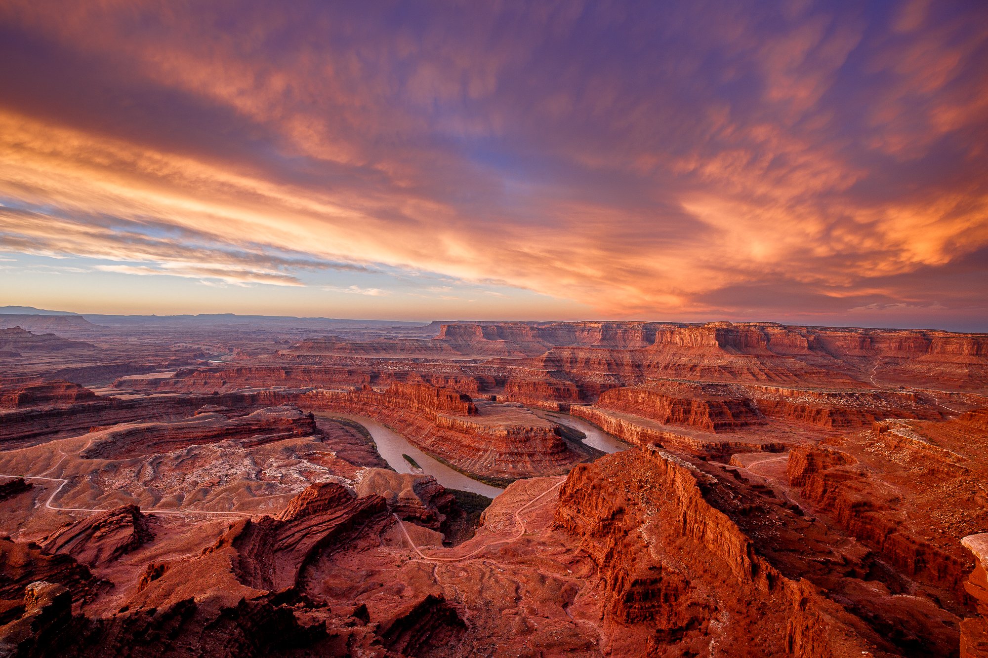
Dead Horse Point is a must see when visiting the areas around Moab, UT. This iconic viewpoint of this surreal gooseneck in the Colorado River is something you will want to add to your checklist and portfolio.
It is hard to stand on the ledge of this location without wondering how all of this happened. The many layers of sandstone, buttes and vertical cliffs (carved by ice, water and wind) help to create a photographic masterpiece.
This is a great location to spend a day or so hiking, exploring and experiencing this magnificent place – with the added bonus at sunrise and sunset for photographing a masterpiece of your own.
Image by David Long and location summary by Tim Wier

Annual Subscription
Lifetime Membership
DATA POINTS INCLUDED WITH DEAD HORSE POINT SUMMARY
I would rate the difficulty of this trail as either a 1 or a 3 on a scale of 1-5 (with 5 being most difficult).
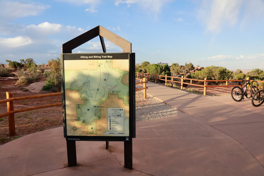
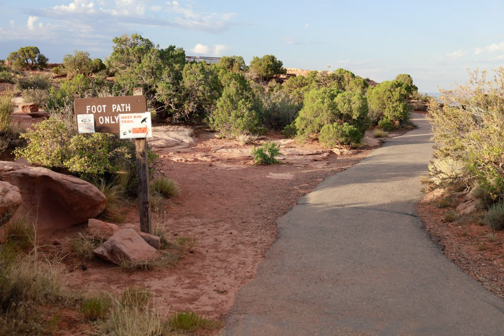
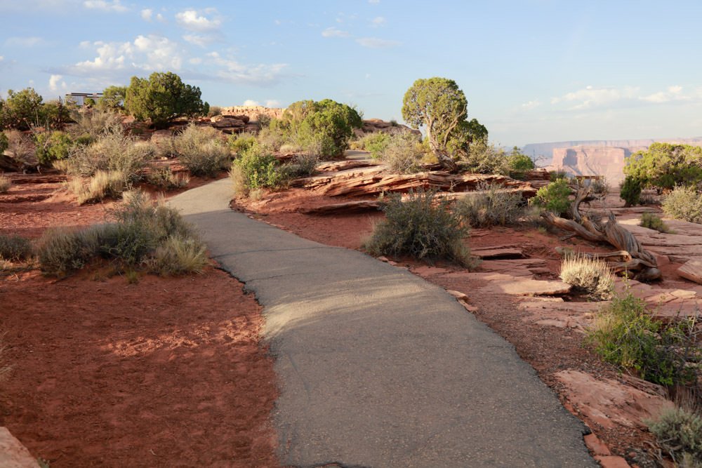
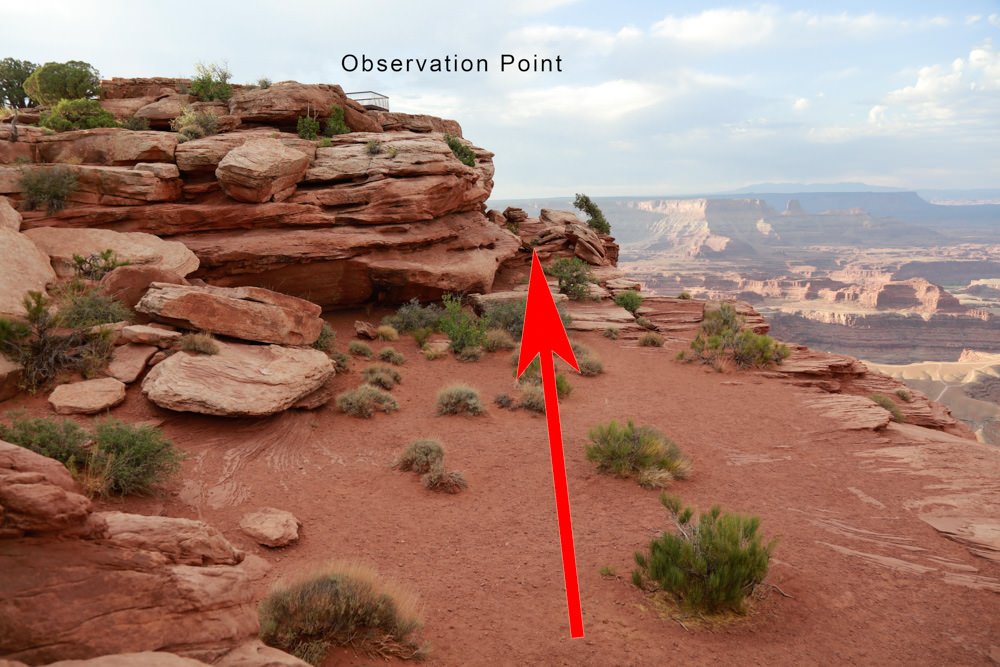
The hike from the parking lot is a moderate 150yd walk (which rates as a 1).
However, if you walk down to the location where this was shot from (which is below the tourist overlook) – you are right on the ledge with a 1,000ft drop. This viewpoint IS NOT FOR EVERYONE and I would rate as a 3.
As beautiful as this location is, it can be hard to capture the essence of what you see. I would suggest arriving early and walking up and down the ridge to find your composition. Many photographs I have seen try to anchor the shot with some foreground. There is a famous curved bush about 50-75 yds. along the right side of the ledge from the tourist overlook.
When photographing at SUNRISE the dynamic range between the sky and the valley are extreme and you will most likely have to bracket your exposures. Once the sun crest the horizon, the shot will be blown out very quickly (3-5 minutes) after the sun comes up.
This shot can work so many ways: a pano, a tight compression or a nice wide-angle vista. Bring lenses ranging from 16 – 135mm. The above shot was taken with a 24mm lens.
5,944 Ft. Elevation
Other Resources Available with Membership
KMZ Trail File
Directions
Best Time of Day to Shoot
Best Time of Year to Shoot
Equipment Needed
Permits Required
Direction of Shot
Google Maps Birds-Eye-View
Number of Photographers to Expect
Cell Service
Overnight Lodging/Camping
Nearby Restaurants
Area Guides and Workshops
Other Resources
LOCATION SUMMARIES WRITTEN BY PROFESSIONAL PHOTOGRAPHERS


